Help Mountain Rescue — volunteers who run into the storm. They never charge.Donate
Follow us — updates & daily drops
Sign up free · 20 seconds
22,000+ UK campsites · Save favourites · Book in one tap
Sign up
kevinjust joined the camping communityShirleyjust joined the camping communityPrincejust joined the camping communityMeechjust joined the camping communityJessjust joined the camping communityGabbyjust joined the camping communityDavidjust joined the camping communityScottjust joined the camping communitykevinjust joined the camping communityShirleyjust joined the camping communityPrincejust joined the camping communityMeechjust joined the camping communityJessjust joined the camping communityGabbyjust joined the camping communityDavidjust joined the camping communityScottjust joined the camping community
CampCompass
50
Back
United Kingdom

50

4.0(0)
Price on Pitchup
54.547°N, 1.962°W
Campsite
Stock
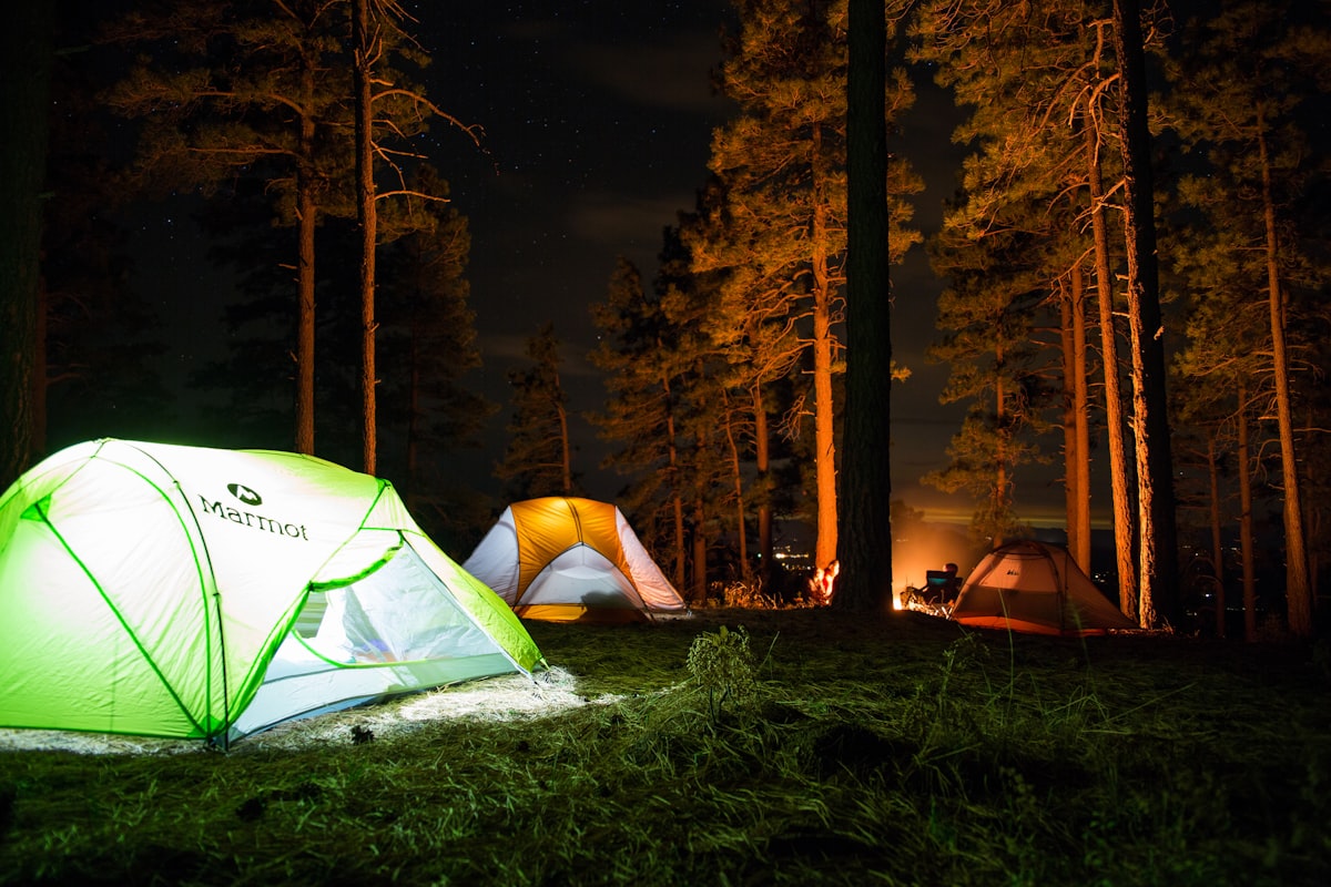
📷 Unsplash · region-matched

Camping pitch · 50

Been here?

Show campers what 50 really looks like

Add a single landscape photo from your trip — pitch, view, sunset, anything but people. We’ll add it to the gallery after a quick moderation check.

Ask Camper AI
Weather Outlook
Current Conditions
15°C
Overcast
9 mph
84%
7-Day Outlook
Today
17° / 12°
68%
Sun
17° / 11°
80%
Mon
18° / 12°
27%
Tue
22° / 16°
29%
Wed
21° / 15°
29%
Thu
22° / 16°
25%
Fri
18° / 12°
33%
Source: Open-Meteo · Updated hourly
Walks Nearby

Local walks within 10 km

7 routes found via OpenStreetMap

Tees Railway Path

Follows a disused railway line for nearly 10km, making it exceptionally flat and accessible for buggies, young children, and dogs on leads. The compacted surface runs through peaceful woodland and countryside between Barnard Castle and Cotherstone, with minimal road crossings. Perfect for leisurely family walks or cycling, offering a traffic-free route with glimpses of the River Tees and surrounding farmland without any challenging climbs.

Hiking routeLocal network
6.03 km from campsite
Route length: 9.7 km
Operator: Durham Country Council

Pennine Way - Bowes Loop

Follows a challenging section of the Pennine Way with steep climbs and rugged moorland terrain – not suitable for buggies or young children. Dogs welcome but must be kept under control near livestock. Expect exposed conditions and muddy patches, so boots essential. Rewards walkers with sweeping views across Teesdale and a real taste of England's spine, ideal for experienced hikers seeking classic long-distance trail scenery.

Hiking routeLocal network
6.54 km from campsite

Pennine Way (Tan Hill to Middleton in Teesdale)

Traverses remote moorland with moderate to steep climbs across High Force and Cauldron Snout, two of England's most dramatic waterfalls. Rugged, often boggy terrain makes this unsuitable for buggies and challenging for young children, though older kids who enjoy wild landscapes will love it. Dogs welcome but keep on leads near livestock and nesting birds. Delivers proper Pennine wilderness, stunning geology, and that rare feeling of genuine isolation in the North Pennines.

Hiking routeNational trail
9.62 km from campsite
Operator: National Trails

Hannah's Meadow Walk

Walking routeLocal network
9.46 km from campsite

Gaunless Valley Heritage Walk

Walking routeLocal network
10.41 km from campsite
Route length: 9 km

Walk data © OpenStreetMap contributors · Open in Maps uses Google / Apple Maps

Reel a fish near your pitch

Fisheries within 10 km

No named fisheries found within 10 km of this campsite (OSM-sourced). If you know one nearby, let us know in the community thread and we'll add it.

From the Wall

Share your trip
No trips shared for 50 yet. Be the first — your photos could even feature on this page.
AI Packing List · Pro
Try Pro free for 14 days

Get a bespoke packing list tuned to this campsite's facilities, your party and the forecast — generated on demand by Camper AI.

Outdoor kit · partner deals
  • Teva UK
    Footwear

    Walking sandals & water-friendly footwear — the unsung hero of UK campsite ablution-block runs.

  • Absolute Snow
    Outdoor clothing

    Outdoor jackets, fleece layers and boots — Berghaus, Rab, Patagonia and more under one roof.

  • FINDRA
    Outdoor clothing

    Scottish-made merino wool base layers, cycling kit and hill-walking essentials — built in the Borders to outlast the British weather.

  • Campsites.co.uk
    Campsite booking

    Alternative booking platform — listings for thousands of UK campsites, holiday parks and touring sites.

  • Camping World UK
    Camping gear

    UK's biggest camping retailer — tents, stoves, sleeping bags, awnings and every accessory you forgot to pack.

Partner links — CampCompass UK earns a small commission if you buy. Costs you nothing and helps keep the app free of ads.

Partner Discount Codes · Pro

Verified discount codes from outdoor brands — added by the team as new partnerships go live.

Try Pro free for 14 days
Facilities
Nearby

Pubs & restaurants within 5 km

  • The Madhatter Kitchen & Tearoom
    Cafe 2.4 km~30 min walk
    Directions
  • The Commercial Hotel
    Pub 2.4 km~30 min walk
    Directions
  • Oliver Twist's Sandwich And Salad Bar
    Takeaway 2.4 km~30 min walksandwich
    Directions
  • No 3 Coffee Bar and Grill
    Cafe 2.4 km~30 min walk
    Directions
  • Costa
    Cafe 2.4 km~30 min walkcoffee shop
    Directions

Data from OpenStreetMap · distances "as the crow flies" · walk times approximate

Campfire threads about this site
No conversations yet. Be the first to share tips or a recommendation.
Field Notes (0)
Your rating
10 more characters to post0 / 2000
No reviews yet. Be the first.
From
See on Pitchup