Help Mountain Rescue — volunteers who run into the storm. They never charge.Donate
Follow us — updates & daily drops
Sign up free · 20 seconds
22,000+ UK campsites · Save favourites · Book in one tap
Sign up
kevinjust joined the camping communityShirleyjust joined the camping communityPrincejust joined the camping communityMeechjust joined the camping communityJessjust joined the camping communityGabbyjust joined the camping communityDavidjust joined the camping communityScottjust joined the camping communitykevinjust joined the camping communityShirleyjust joined the camping communityPrincejust joined the camping communityMeechjust joined the camping communityJessjust joined the camping communityGabbyjust joined the camping communityDavidjust joined the camping communityScottjust joined the camping community
CampCompass
Lathkill Dale Campsite
Back
Bakewell

Lathkill Dale Campsite

4.0(0)
Price on Pitchup
53.195°N, 1.770°W
Campsite
Stock
📷 Unsplash · region-matched

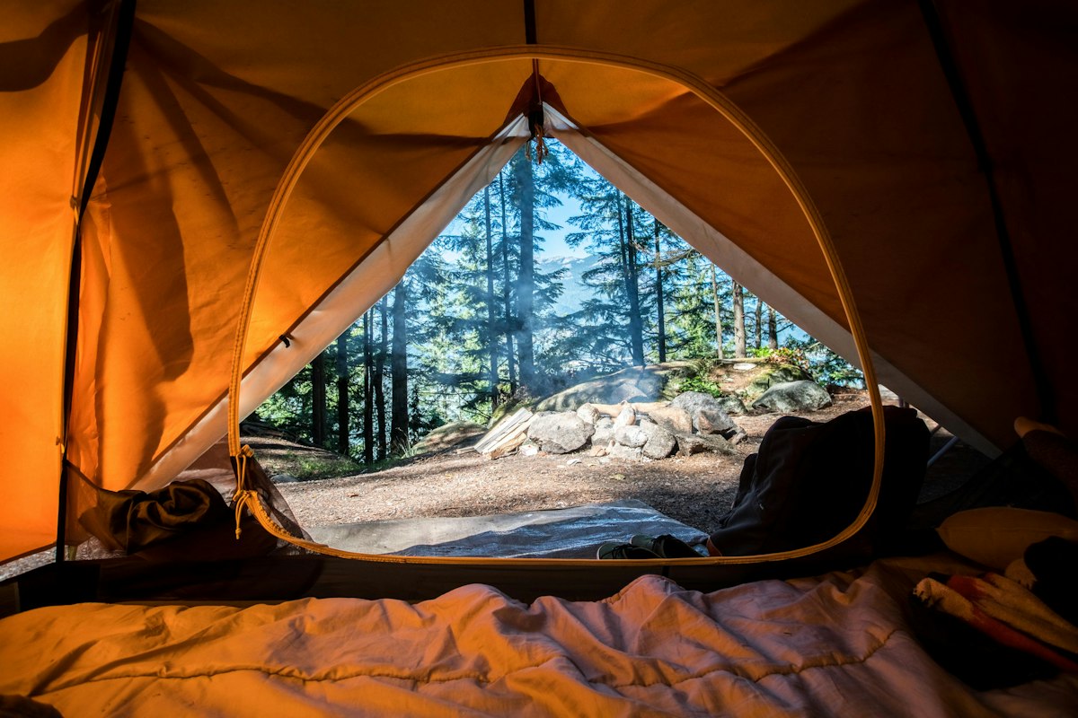
The limestone walls of Lathkill Dale rise silver-grey above the riverbank, and if you arrive early enough, you'll catch mist lifting off the water while wood pigeons call from the ash trees.

This is a back-to-basics site for campers and vanners who know the Peak District and come for the walking — Lathkill Dale itself is one of Derbyshire's loveliest valleys, with crystal-clear streams, wildflower meadows, and trails that link into the White Peak plateau. Tent pitchers and campervan crews tend to be here for the landscape first, the campsite second. You're close to Bakewell for supplies and proper Bakewell pudding, but most people spend their days on the limestone ridges or down by the river.

Facilities are kept simple, which suits the setting — this isn't a site for those after hot tubs or playgrounds. Dogs are welcome by arrangement, and campfires may be allowed depending on conditions, so check when you book. Expect a quiet, outdoorsy crowd and the kind of evening stillness you only get in the dales.
Been here?

Show campers what Lathkill Dale Campsite really looks like

Add a single landscape photo from your trip — pitch, view, sunset, anything but people. We’ll add it to the gallery after a quick moderation check.

Ask Camper AI
Weather Outlook
Current Conditions
14°C
Partly cloudy
11 mph
82%
7-Day Outlook
Today
20° / 12°
0%
Sat
21° / 13°
55%
Sun
17° / 13°
92%
Mon
20° / 12°
18%
Tue
25° / 14°
37%
Wed
23° / 14°
43%
Thu
24° / 11°
18%
Source: Open-Meteo · Updated hourly
Walks Nearby

Local walks within 10 km

10 routes found via OpenStreetMap

Monsal Trail

Follows a former railway line through the stunning Peak District, offering a flat, traffic-free path perfect for families, buggies, and dogs. The 8.5-mile route passes through dramatic limestone dales and four tunnels (lit during daylight), with former station stops ideal for shorter sections. Stunning viaduct views, easy access points, and firm surfacing make this one of the UK's most accessible countryside walks with proper Peak District scenery.

Walking routeLocal network
4.44 km from campsite

Limestone Way

Traverses 74km of limestone countryside from Castleton in the Peak District to Rocester in Staffordshire, passing through classic White Peak dales, meadows and gentle rolling uplands. Mostly moderate terrain with some steep ascents around Castleton and Matlock areas. Best tackled in multi-day sections rather than one go – manageable for older children on shorter stretches but full route unsuitable for buggies. Dogs welcome throughout on leads near livestock. Offers peaceful pastoral scenery, his

Hiking routeRegional network
7.36 km from campsite
Route length: 74 km

High Peak Trail

Follows a disused railway line, meaning virtually flat terrain throughout—perfect for families with buggies and young children. The 27km trail runs between Cromford and Dowlow, surfaced with compacted stone ideal for bikes and pushchairs. Dogs welcome on leads. Spectacular views across the Peak District's White Peak limestone plateau, passing old railway stations now converted to cafés and information points. Brilliant for a leisurely full-day trek or shorter sections, with minimal climbing requ

Walking routeRegional network
8.02 km from campsite
Route length: 27 km

Peak Pilgrimage

Hiking routeRegional network
8.14 km from campsite

White Peak Loop - Link to Monsal Trail

Hiking route
9.29 km from campsite

Walk data © OpenStreetMap contributors · Open in Maps uses Google / Apple Maps

Reel a fish near your pitch

Fisheries within 10 km

No named fisheries found within 10 km of this campsite (OSM-sourced). If you know one nearby, let us know in the community thread and we'll add it.

From the Wall

Share your trip
No trips shared for Lathkill Dale Campsite yet. Be the first — your photos could even feature on this page.
AI Packing List · Pro
Try Pro free for 14 days

Get a bespoke packing list tuned to this campsite's facilities, your party and the forecast — generated on demand by Camper AI.

Outdoor kit · partner deals
  • Teva UK
    Footwear

    Walking sandals & water-friendly footwear — the unsung hero of UK campsite ablution-block runs.

  • Absolute Snow
    Outdoor clothing

    Outdoor jackets, fleece layers and boots — Berghaus, Rab, Patagonia and more under one roof.

  • FINDRA
    Outdoor clothing

    Scottish-made merino wool base layers, cycling kit and hill-walking essentials — built in the Borders to outlast the British weather.

  • Campsites.co.uk
    Campsite booking

    Alternative booking platform — listings for thousands of UK campsites, holiday parks and touring sites.

  • Camping World UK
    Camping gear

    UK's biggest camping retailer — tents, stoves, sleeping bags, awnings and every accessory you forgot to pack.

Partner links — CampCompass UK earns a small commission if you buy. Costs you nothing and helps keep the app free of ads.

Partner Discount Codes · Pro

Verified discount codes from outdoor brands — added by the team as new partnerships go live.

Try Pro free for 14 days
Facilities
Nearby

Pubs & restaurants within 5 km

  • The Bulls Head
    Pub 0.4 km~5 min walk
    Directions
  • The Old Smithy
    Cafe 0.4 km~5 min walk
    Directions
  • Tagg Lane Dairy
    Cafe 2.0 km~25 min walkcoffee shop;ice cream
    Directions
  • The Bull I' Th' Thorn Pub & Pizzeria
    Pub 2.6 km~30 min walk
    Directions
  • The Royal Oak
    Pub 2.8 km~35 min walk
    Directions

Data from OpenStreetMap · distances "as the crow flies" · walk times approximate

Campfire threads about this site
No conversations yet. Be the first to share tips or a recommendation.
Field Notes (0)
Your rating
10 more characters to post0 / 2000
No reviews yet. Be the first.
From
See on Pitchup