Follow us — updates & daily drops
Sign up free · 20 seconds
21,500+ UK campsites · Save favourites · Book in one tap
Sign up
Elishajust joined the camping communityRoryjust joined the camping communityJohnjust joined the camping communitykevinjust joined the camping communityShirleyjust joined the camping communityPrincejust joined the camping communityMeechjust joined the camping communityJessjust joined the camping communityElishajust joined the camping communityRoryjust joined the camping communityJohnjust joined the camping communitykevinjust joined the camping communityShirleyjust joined the camping communityPrincejust joined the camping communityMeechjust joined the camping communityJessjust joined the camping community
CampCompass
Ruthern Valley Campsite
Back
United Kingdom

Ruthern Valley Campsite

4.0(0)
Price on Pitchup
50.464°N, 4.801°W
Campsite
Stock
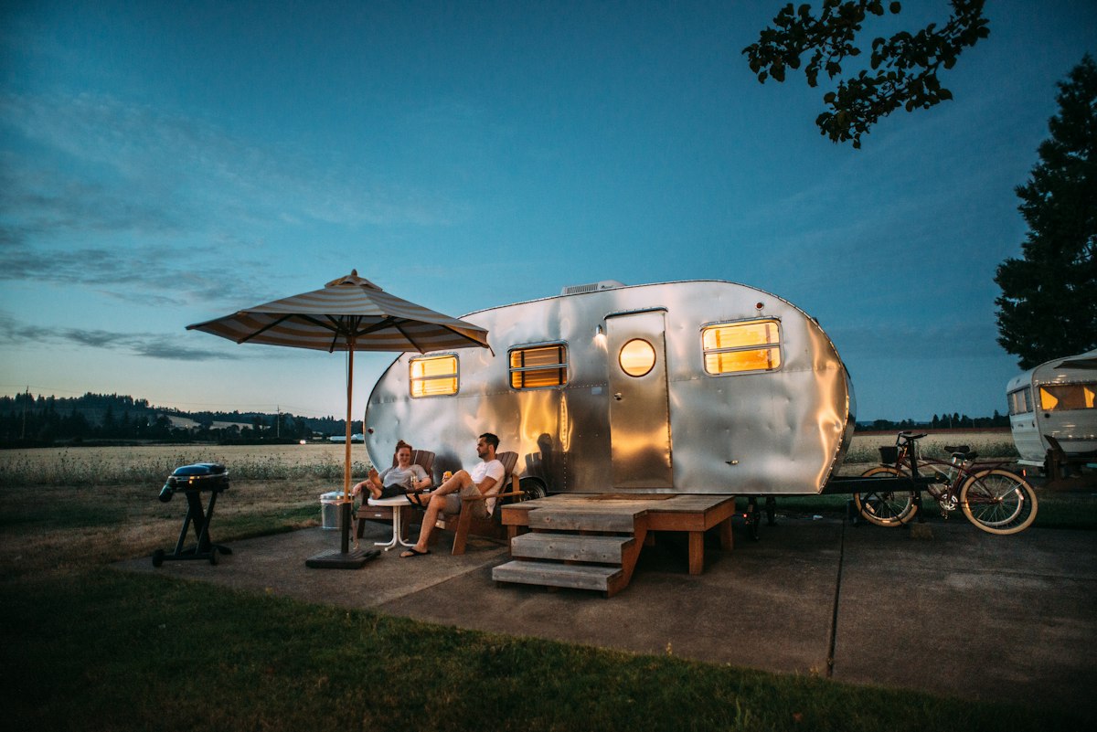
📷 Unsplash · region-matched

Imported from OpenStreetMap · Ruthern Valley Campsite

Been here?

Show campers what Ruthern Valley Campsite really looks like

Add a single landscape photo from your trip — pitch, view, sunset, anything but people. We’ll add it to the gallery after a quick moderation check.

Ask Camper AI
Weather Outlook
Current Conditions
24°C
Overcast
9 mph
43%
7-Day Outlook
Today
25° / 7°
2%
Mon
26° / 10°
8%
Tue
23° / 18°
93%
Wed
19° / 16°
61%
Thu
20° / 14°
33%
Fri
20° / 13°
49%
Sat
21° / 14°
33%
Source: Open-Meteo · Updated hourly
Walks Nearby

Local walks within 10 km

5 routes found via OpenStreetMap

Saints Way

Spans 47km across Cornwall from Padstow to Fowey, following ancient pilgrimage paths through woodland, farmland and creek-side trails with moderate, rolling climbs throughout. Suitable for older children comfortable with distance, but not buggy-friendly due to stiles, narrow tracks and uneven surfaces. Dogs welcome on leads near livestock. Rewards walkers with glimpses of Cornwall's Celtic heritage, quiet countryside and coastal views at both ends – typically walked over 2-3 days with wild campi

Hiking routeRegional network
3.3 km from campsite
Route length: 47 km
Camel Trail

Follows a disused railway line along the Camel estuary from Padstow to Bodmin, making it completely flat and perfect for families with buggies or young cyclists. Dogs love it. The traffic-free tarmac path runs for 18 miles through stunning Cornish countryside, past Wadebridge and alongside tidal waters teeming with wading birds. Popular for its gentle gradient, scenic river views, and safe cycling—though it gets busy in summer. You can tackle shorter sections and there are cafés dotted along the

Hiking routeRegional network
5.16 km from campsite

Pokémon TCG Mega Evolution Trail at Lanhydrock

Winds gently through Lanhydrock's woodlands on flat, well-maintained paths perfect for families with toddlers and pushchairs. This short Pokémon-themed trail combines National Trust heritage with interactive fun, letting kids hunt for character stations while exploring ancient trees and formal gardens. Dogs welcome on leads. Ideal for little legs and a playful introduction to Lanhydrock's 900-acre estate.

Dogs welcomeWalking routeLocal network
7.65 km from campsite
Route length: 0.4 km
Operator: National Trust
Info

Lanhydrock Great Wood and Beech Avenue walk, Lanhydrock

Meanders through ancient woodland and along the iconic Victorian beech-lined avenue at this National Trust estate. Mostly flat, well-maintained paths suitable for families with older children who can manage 4km, though tree roots and occasional muddy sections make buggies impractical. Dogs welcome on leads throughout. Stunning seasonal colours in spring (bluebells) and autumn, plus glimpses of Lanhydrock House through the trees make this a gentle introduction to Cornish woodland walking.

Walking routeLocal network
8.22 km from campsite
Route length: 4 km
Operator: National Trust
Info

Lanhydrock Parkland walk, Lanhydrock

Walking routeLocal network
8.33 km from campsite
Route length: 5 km
Operator: National Trust
Info

Walk data © OpenStreetMap contributors · Open in Maps uses Google / Apple Maps

Reel a fish near your pitch

Fisheries within 10 km

1 found · OpenStreetMap
  • Innis Fish: Trout Farm and Fly Fishery
    9.81 km
    Managed fishery

From the Wall

Share your trip
No trips shared for Ruthern Valley Campsite yet. Be the first — your photos could even feature on this page.
AI Packing List · Pro
Try Pro free for 14 days

Get a bespoke packing list tuned to this campsite's facilities, your party and the forecast — generated on demand by Camper AI.

Outdoor kit · partner deals
  • Teva UK
    Footwear

    Walking sandals & water-friendly footwear — the unsung hero of UK campsite ablution-block runs.

  • Absolute Snow
    Outdoor clothing

    Outdoor jackets, fleece layers and boots — Berghaus, Rab, Patagonia and more under one roof.

  • FINDRA
    Outdoor clothing

    Scottish-made merino wool base layers, cycling kit and hill-walking essentials — built in the Borders to outlast the British weather.

  • Campsites.co.uk
    Campsite booking

    Alternative booking platform — listings for thousands of UK campsites, holiday parks and touring sites.

  • Camping World UK
    Camping gear

    UK's biggest camping retailer — tents, stoves, sleeping bags, awnings and every accessory you forgot to pack.

Partner links — CampCompass UK earns a small commission if you buy. Costs you nothing and helps keep the app free of ads.

Partner Discount Codes · Pro

Verified discount codes from outdoor brands — added by the team as new partnerships go live.

Try Pro free for 14 days
Facilities
Nearby

Pubs & restaurants within 5 km

Looking around the area…

Data from OpenStreetMap · distances "as the crow flies" · walk times approximate

Campfire threads about this site
No conversations yet. Be the first to share tips or a recommendation.
Field Notes (0)
Your rating
10 more characters to post0 / 2000
No reviews yet. Be the first.
From
See on Pitchup