Follow us — updates & daily drops
Sign up free · 20 seconds
21,500+ UK campsites · Save favourites · Book in one tap
Sign up
Sharonjust joined the camping communitySarahjust joined the camping communityMartinjust joined the camping communityOlijust joined the camping communityLisajust joined the camping communityLeejust joined the camping communitymjust joined the camping communityGravyjust joined the camping communitySharonjust joined the camping communitySarahjust joined the camping communityMartinjust joined the camping communityOlijust joined the camping communityLisajust joined the camping communityLeejust joined the camping communitymjust joined the camping communityGravyjust joined the camping community
CampCompass
Woollett Hall Farm
Back
Kent

Woollett Hall Farm

4.0(0)
Price on Pitchup
51.433°N, 0.141°E
Campsite
Stock
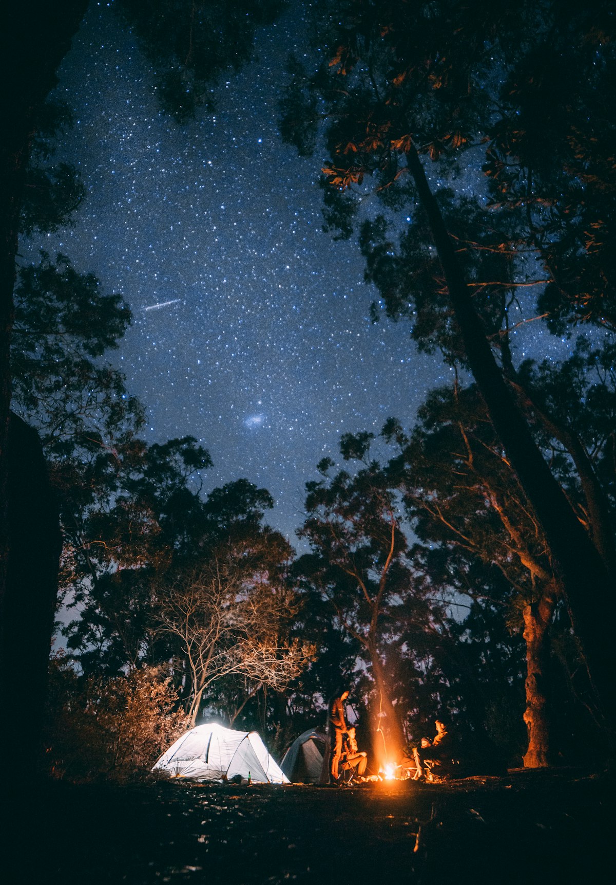
📷 Unsplash · region-matched

The air here smells of hay meadows and Kent orchard fruit, with curlews calling over the flat fields on summer mornings.

This is a farm site that works well for couples and dog walkers wanting a quiet pitch close to the North Kent coast, with space for tents and campervans. The Hoo Peninsula isn't showy, but it's proper countryside—marshland, RSPB reserves, and old Saxon Shore paths—and you're far enough from the M2 to feel properly away. Electric hookups are available if you need them, and there are proper showers and toilets onsite.

Expect a working farm feel rather than manicured rows, with friendly space and dogs welcome to roam. Campfires are sometimes allowed, so ask when you arrive—it depends on the season and conditions. The vibe is low-key and rural, ideal if you value birdsong over entertainment, and want a straightforward Kent base without the glamping gloss.

Been here?

Show campers what Woollett Hall Farm really looks like

Add a single landscape photo from your trip — pitch, view, sunset, anything but people. We’ll add it to the gallery after a quick moderation check.

Ask Camper AI
Weather Outlook
Current Conditions
16°C
Mostly clear
3 mph
82%
7-Day Outlook
Today
23° / 13°
2%
Thu
21° / 8°
0%
Fri
24° / 13°
2%
Sat
19° / 13°
8%
Sun
21° / 12°
15%
Mon
16° / 13°
33%
Tue
21° / 12°
37%
Source: Open-Meteo · Updated hourly
Walks Nearby

Local walks within 10 km

73 routes found via OpenStreetMap

LOOP link to Bexley station

Loops through suburban Bexley on mostly flat pavements and quiet residential streets, making it pushchair-friendly and easy for families with young children. Dogs welcome on leads through the town centre sections. The route connects local parks and green spaces around the station, offering a gentle leg-stretch between rail connections rather than dramatic scenery—ideal for breaking up a journey or getting to know the local area without straying far from transport links.

Walking routeRegional network
0.99 km from campsite
Operator: London Borough of Bexley
Info

Faesten Dic Path

Follows an ancient earthwork boundary ditch through Darland Banks Local Nature Reserve near Gillingham. Mostly flat woodland paths and open grassland with some gentle undulations, though muddy after rain. Great for families and young children interested in history and nature spotting—bugs, wildflowers, and occasional deer. Pushchairs will struggle on uneven sections. Dogs welcome on leads. Short but steeped in Romano-British history, with panoramic views across the Medway Valley from elevated se

Walking routeLocal network
1.66 km from campsite
Route length: 3.2 km

Shuttle to Cray Link

Connects Orpington's Shuttle area to Cray through suburban streets and green corridors. Mostly flat pavements with occasional gentle slopes, making it pushchair-friendly and easy for young children. Dogs welcome on leads through residential sections. Offers a practical urban walk linking neighbourhoods with pockets of green space, though primarily a functional route rather than scenic highlight—useful for longer walking circuits around southeast London's suburban fringe.

Walking routeLocal network
1.75 km from campsite

London LOOP (Section 2)

Walking routeRegional network
2.88 km from campsite
Info

Shuttle Riverway

Walking routeLocal network
2.29 km from campsite
Operator: London Borough of Bexley, Royal Borough of Greewich

Walk data © OpenStreetMap contributors · Open in Maps uses Google / Apple Maps

Reel a fish near your pitch

Fisheries within 10 km

No named fisheries found within 10 km of this campsite (OSM-sourced). If you know one nearby, let us know in the community thread and we'll add it.

From the Wall

Share your trip
No trips shared for Woollett Hall Farm yet. Be the first — your photos could even feature on this page.
AI Packing List · Pro
Try Pro free for 14 days

Get a bespoke packing list tuned to this campsite's facilities, your party and the forecast — generated on demand by Camper AI.

Outdoor kit · partner deals
  • Teva UK
    Footwear

    Walking sandals & water-friendly footwear — the unsung hero of UK campsite ablution-block runs.

  • Absolute Snow
    Outdoor clothing

    Outdoor jackets, fleece layers and boots — Berghaus, Rab, Patagonia and more under one roof.

  • FINDRA
    Outdoor clothing

    Scottish-made merino wool base layers, cycling kit and hill-walking essentials — built in the Borders to outlast the British weather.

  • Campsites.co.uk
    Campsite booking

    Alternative booking platform — listings for thousands of UK campsites, holiday parks and touring sites.

  • Camping World UK
    Camping gear

    UK's biggest camping retailer — tents, stoves, sleeping bags, awnings and every accessory you forgot to pack.

  • Trek Expert
    Outdoor gear

    French outdoor specialist — adidas Terrex, hiking, trail running and mountain gear. Use ADI10 for an extra 10% off adidas.

Partner links — CampCompass UK earns a small commission if you buy. Costs you nothing and helps keep the app free of ads.

Partner Discount Codes · Pro

Verified discount codes from outdoor brands — added by the team as new partnerships go live.

Try Pro free for 14 days
Facilities
Dog Friendly
Electric Hookup
Showers
Toilets
Nearby

Pubs, shops & services within 5 km

This site is properly off-grid — no shops, pubs, cafes or services within 5 km on our records. Pack a flask, a stove and your favourite supper. That's half the magic.

Data from OpenStreetMap · distances "as the crow flies" · walk times approximate

Campfire threads about this site
No conversations yet. Be the first to share tips or a recommendation.
Field Notes (0)
Your rating
10 more characters to post0 / 2000
No reviews yet. Be the first.
From
See on Pitchup